
Little Wigwam United Kingdom UK Map Chart - Tear-Resistant Educational Poster (24 x 17 inches)

$7.99
Features
Poster Size: 60 x 42cm (A2) - made in Great Britain
Guaranteed never to tear, unlike paper posters
Detailed map covering England, Scotland, Wales and Northern Ireland
Country information including flag, capital, population, area and highest point
Shows cities, rivers, islands, seas, oceans and National Parks + scale and compass
Details
Looking for a durable and informative educational poster for your classroom or home? Our Little Wigwam United Kingdom UK Map Chart is the perfect solution! Made in Great Britain with tear-resistant material, this poster will never let you down. Featuring detailed information about England, Scotland, Wales, and Northern Ireland, including flags, capitals, populations, areas, and highest points, this poster is not only educational but also visually appealing.
Unleash the explorer in you with this beautifully designed map that covers cities, rivers, islands, seas, oceans, and National Parks. The scale and compass add an extra element of learning to the poster, making it perfect for teaching geography to children and adults alike. Say goodbye to flimsy paper posters that tear easily - our tear-resistant UK Map Chart is here to stay and provide you with endless knowledge and exploration opportunities.
Why settle for ordinary when you can have extraordinary? Invest in a poster that guarantees durability, accuracy, and detailed information about the United Kingdom. Whether you're a teacher looking to enhance your classroom or a parent wanting to foster a love for geography in your child, the Little Wigwam UK Map Chart is a must-have addition to your space. Explore the world without limits with this superior quality educational poster!
Get your tear-resistant UK Map Chart today and embark on a journey of discovery!
Discover More Best Sellers in Geography Materials
Shop Geography Materials
Rand McNally Easy to Fold: Georgia State Laminated Map
 Geography Materials - Rand McNally Easy to Fold: Georgia State Laminated Map

Evan-Moor Educational Publishers The World: Reference Maps & Forms Book (World & U.S. Maps)
 Geography Materials - Evan-Moor Educational Publishers The World: Reference Maps & Forms Book (World & U.S. Maps)

Swiftmaps 32" x 50" RMC Large World Wall Map Poster - Laminated Rolled (32x50 Signature World)
Geography Materials - Swiftmaps 32" x 50" RMC Large World Wall Map Poster - Laminated Rolled (32x50 Signature World)

48x78 World Classic Premier Wall Map Mega Poster Laminated
Geography Materials - 48x78 World Classic Premier Wall Map Mega Poster Laminated

Mexico Physical Poster Map - 16.53 x 23.38 inches - Paper Laminated
 Geography Materials - Mexico Physical Poster Map - 16.53 x 23.38 inches - Paper Laminated
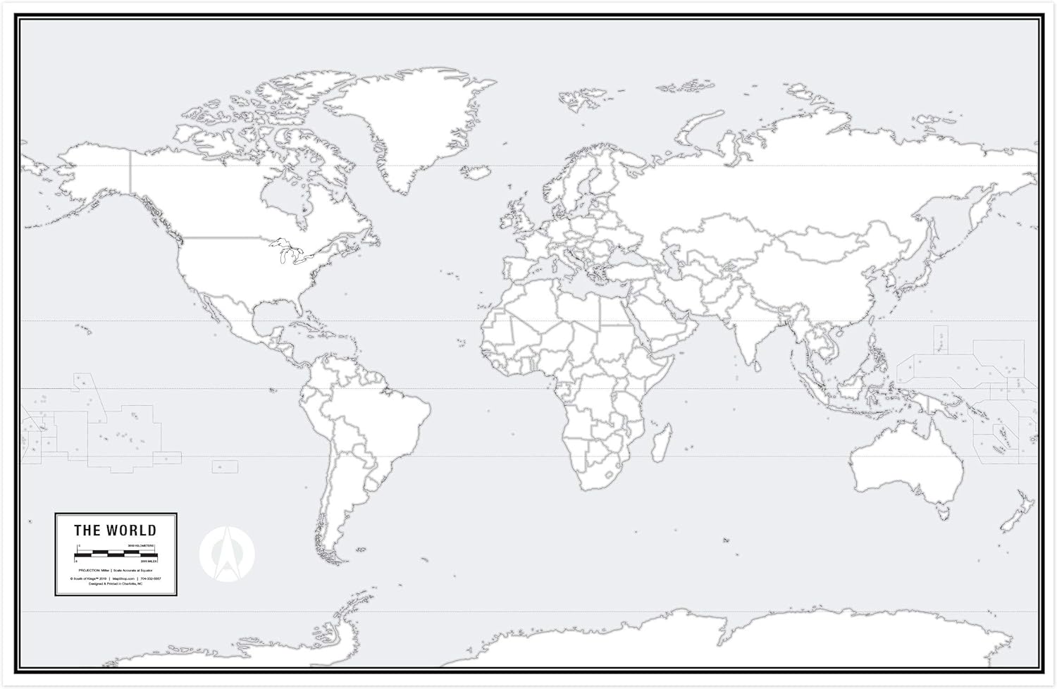 Geography Materials - Large Blank World Outline Map Poster, Laminated, 36” x 24” | Great Blank Wall Map for Classroom or Home Study | Free Dry Erase Marker Included | Includes Detailed Laminated Answer Sheet | Learn Fast!
 Geography Materials - Laminated World Map & US Map Poster Set - 18" x 29" - Wall Chart Maps of the World & United States - Made in the USA - (LAMINATED, 18" x 29")
![Geography Materials - USA Map Poster - United States Map Chart [Tan/Color] (Laminated, 18” x 29”)](https://images-na.ssl-images-amazon.com/images/I/91hlqXJIonS._AC_SL1500_.jpg)
USA Map Poster - United States Map Chart [Tan/Color] (Laminated, 18” x 29”)
Geography Materials - USA Map Poster - United States Map Chart [Tan/Color] (Laminated, 18” x 29”)

HYBE BTS Official Light Stick SE - MAP of The Soul (Incl.IDOLPARK Special BTS PhotocardS Set)
Geography Materials - HYBE BTS Official Light Stick SE - MAP of The Soul (Incl.IDOLPARK Special BTS PhotocardS Set)
