
National Geographic Caribbean Wall Map - Classic - Laminated (Poster Size: 36 x 24 in) (National Geographic Reference Map)

$18.59
Description
Book Synopsis: One of the most authoritative maps for the islands of the Caribbean Sea. It shows the entire region in great detail, with coverage extending from the tip of Florida to the northern extents of Colombia and Venezuela, east to Barbados, and west to the eastern edge of Honduras, Costa Rica, and Nicaragua. Detailed bathymetry reveals the remarkable seafloor variation of the Caribbean including the Puerto Rico Trench, the deepest point in the Atlantic Ocean at 8,605 meters (28,232 feet). Includes over 1,000 named places including country capitals, primary and secondary towns; political boundaries, important infrastructure, and all key landforms. Useful and informative notes about the region's history and unique geography are spread throughout the map, providing the reader further understanding of the Caribbean's unique attributes.
The map is encapsulated in heavy-duty 1.6 mil laminate which makes the paper much more durable and resistant to the swelling and shrinking caused by changes in humidity. Laminated maps can be framed without the need for glass, so the frames can be much lighter and less expensive.
Map Scale: 1:3,286,000
Sheet Size: 36" x 24"
Read more
Details
Discover the hidden beauty of the Caribbean Sea with the National Geographic Caribbean Wall Map. With its comprehensive coverage and exquisite detail, this map is a must-have for any travel enthusiast. From the tip of Florida to the depths of Colombia and Venezuela, this map showcases the entire region in stunning accuracy. Immerse yourself in the wonders of the Caribbean as you navigate through the exquisite landforms, political boundaries, and important infrastructure.
Uncover the secrets beneath the surface as detailed bathymetry reveals the remarkable seafloor variations, including the Puerto Rico Trench, the deepest point in the Atlantic Ocean. With over 1,000 named places, including country capitals and primary towns, this map is your ultimate guide to exploring the Caribbean.
Not just a map, this masterpiece is packed with useful and informative notes about the region's history and unique geography. Enhance your understanding of the Caribbean's hidden gems and uncover the stories behind its captivating landscapes.
Rest assured, our National Geographic Caribbean Wall Map is built to last. Encapsulated in heavy-duty 1.6 mil laminate, this map is durable and resistant to the effects of humidity. The laminated design also allows for easy framing without the need for glass, making it lighter and more affordable.
Get ready to embark on a journey like no other. Explore the wonders of the Caribbean Sea from the comfort of your own home with the National Geographic Caribbean Wall Map. Start planning your next adventure today!
Click here to grab your National Geographic Caribbean Wall Map now!
Discover More Best Sellers in Geography Materials
Shop Geography Materials
Slime: The mega laugh-out-loud children's book from No. 1 bestselling author David Walliams.
 Geography Materials - Slime: The mega laugh-out-loud children's book from No. 1 bestselling author David Walliams.


Canadian Rockies Map (National Geographic Destination Map)
Geography Materials - Canadian Rockies Map (National Geographic Destination Map)

Mexico Physical Poster Map - 16.53 x 23.38 inches - Paper Laminated
 Geography Materials - Mexico Physical Poster Map - 16.53 x 23.38 inches - Paper Laminated
 Geography Materials - Waypoint Geographic Light Up Globe - Como 12” Desk Decorative Illuminated Antique Ocean Style with Stand, Up to Date World Globe
 Geography Materials - Magnetic Levitation Floating Globe NHSUNRAY 8'' Levitation Rotating Ball LED Illuminated World Map Earth for Desktop Office Home Decor (Black)

 Geography Materials - Discovery Kids 2-in-1 World Globe LED Lamp w/Day & Night Modes, STEM Geography Map Educational Toy for Children, Solar System, Light Up Cities and Countries, Rotating w/Display Stand
 Geography Materials - Scratch Off Map of USA + 63 National Parks Bundle (24x17 US Map & 12x16 NP Poster, Black/Gold) - Giftable Travel Tracker Kit with Scratch Pen and Cloth
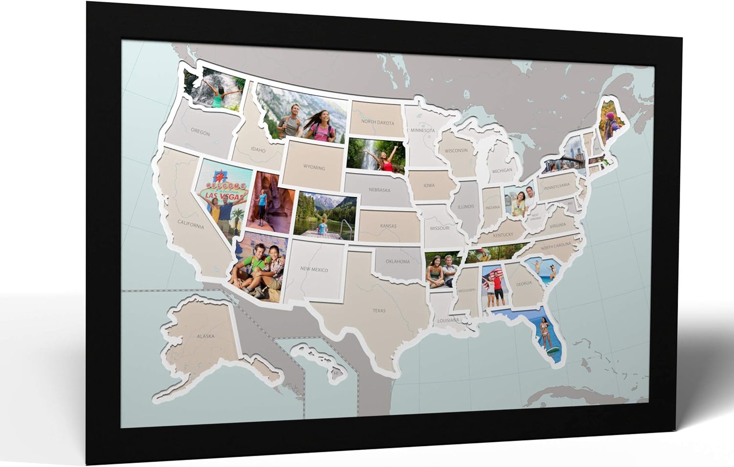
50 States USA Photo Map - Frame Optional - Made in America (Printed Map, Black Frame)
Geography Materials - 50 States USA Photo Map - Frame Optional - Made in America (Printed Map, Black Frame)
